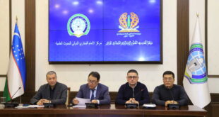
In cooperation with the Institute of Asian-African Studies at the University of Hamburg, Germany, an online seminar was held in the series “Cultural treasures of the Zarafshan valley” at the Imam Bukhari International Research Center. It was attended by scientific staff of the Center, international scholarship holders of Imam Bukhari International scolarship, researchers of higher educational and scientific institutions of our country and abroad, as well as scientists from Germany, Pakistan, Turkey and France.
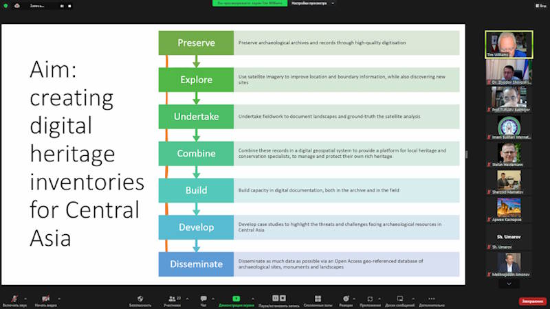
The seminar was attended by the director of the project of the International Silk Road archaeological and Heritage Centre at the Institute of Archaeology, London, Dr. Tim Williams lectured on” the archaeological landscape of Central Asia”.
The scientist first described in detail about the project he was leading. The purpose of the project is to document and digitize the archaeological heritage of Central Asia, raise awareness of its scientific value and protect it. Covering an area of almost 6 million km2 from the Caspian Sea to the west of China, the region with large deserts, mountain ranges, fertile river deltas and oases contains the most important heritage of the Silk Road: from metropolises to market towns, mountain caves, caravanserais in deserts, complex systems of water management and irrigation, to religious settlements indicating the spread of faith.
T.Williams argues that due to the fact that many information on archaeological heritage is preserved in the archives from the time when GPS maps have not yet been created, today there is work on creating a National Geographic Information System of each country by combining them with satellite and drone images, as well as identifying their location using aerophotosurates, linking them with official memorial records. The accuracy included in 60,000 such location locations so far has made it possible to obtain more complete information about the archaeological landscape of the region.
The speaker also noted that more than 13 and a half thousand memorial records have been digitized and placed on an open data portal, a multilingual system has developed an extensive Dictionary of terms covering monuments, chronology, Empires, etc., ultimately creating an important information platform that will be used in conducting research on the management of archaeological heritage.
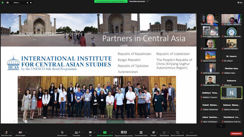
The scientist also touched on the significant importance in the perspective of creating the archaeological landscape of the region.
A robust and accessible information platform is needed to assess the scale and study the nature of future development projects, changing agricultural practices, increasing urbanization and, most importantly, possible threats to the climate crisis. To do this, we are using drones for photogrammetry applications and accurate mapping of wide landscapes in order to create high – resolution 3D data, ” said the British researcher.
The Seminar continued with heated questions and answers.
 Imom Buxoriy xalqaro ilmiy-tadqiqot markazi bukhari.uz
